My husband and I took a trip last October over Boreas Pass Road. It was our first foray onto one of the auto trails in the Rockies–well, intentionally, at least. Usually these trails are gravel or dirt roads and the route often has historical significance.
You might remember in my post about the ghost town at Caribou that we saw the trailhead for a 4WD trail. It looked quite challenging to us uninitiates, although it is rated moderate. I’ve read the trail description, and I gather you’d need a somewhat serious off-road vehicle and a little experience in climbing rocks with cars.
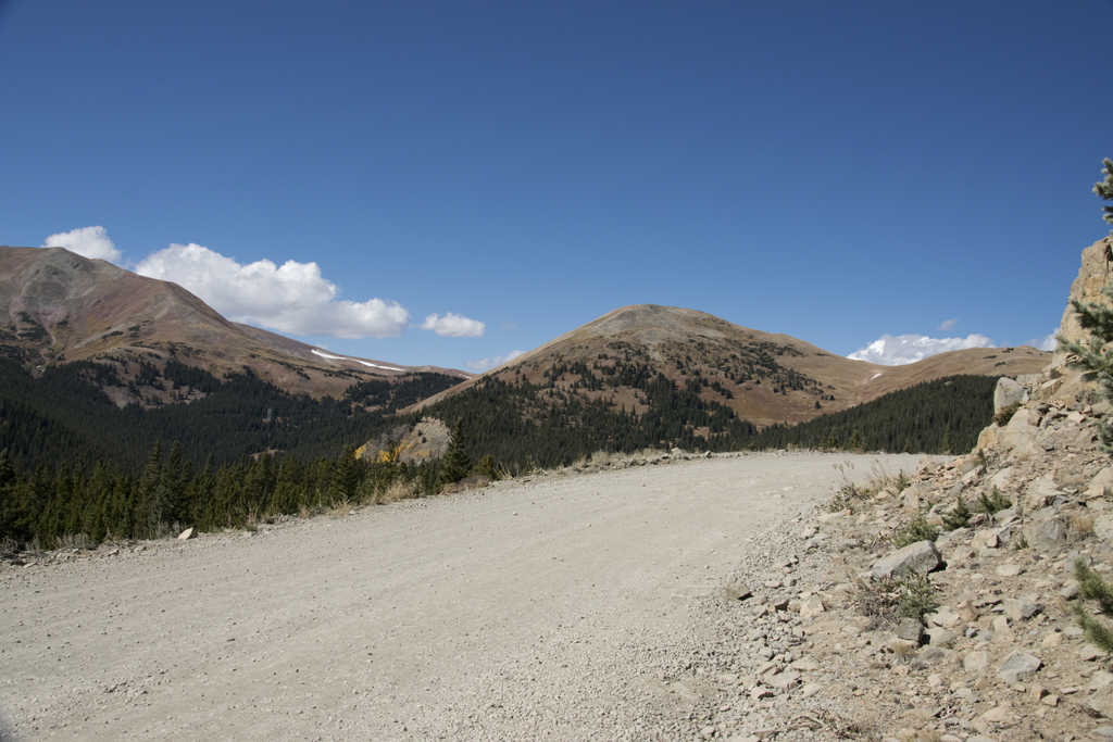
Boreas Pass Road, on the other hand, is rated easy, and so it was. The road follows the former rail bed for the South Park and Pacific Railroad. This railroad was the highest narrow-gauge railroad in the country. It ran from Denver to Leadville in the years 1872-1938. The trail, as far as I could determine, is maintained by the US Forest Service and runs from Como to Breckenridge.
We chose this particular weekend because the aspen trees were in their peak autumn glory. If you’ve never seen an aspen in its full autumn glory, you’ve missed out. The leaves turn a wonderful, rich gold. When the sun backlights the leaves, the effect is a luminous gold landscape that I have never seen the match of.
Aspens are native to North America, and they grow only in cooler climes. This means the mountains are a perfect location for them. They don’t do well at even a mile high where I live, though you do see them in landscaping. They grow wild in groves among the evergreens up high, and though they’re green for the summer, when they turn gold in autumn, they stand out on the mountainsides: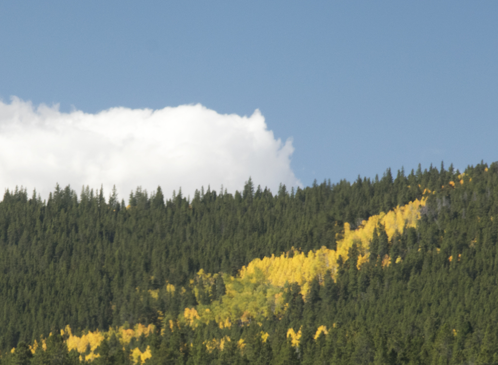
You’ll see a lot more aspens before this post is done.
We arrived in Como, Colorado, to begin our trek. You’ll see a lot more about Como, along with pictures, in a future post because there is a quasi-ghost town there. However, today I’ll show you the gorgeous view of the Blue River Valley to be had from the Como end: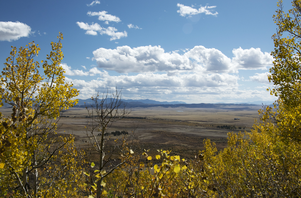
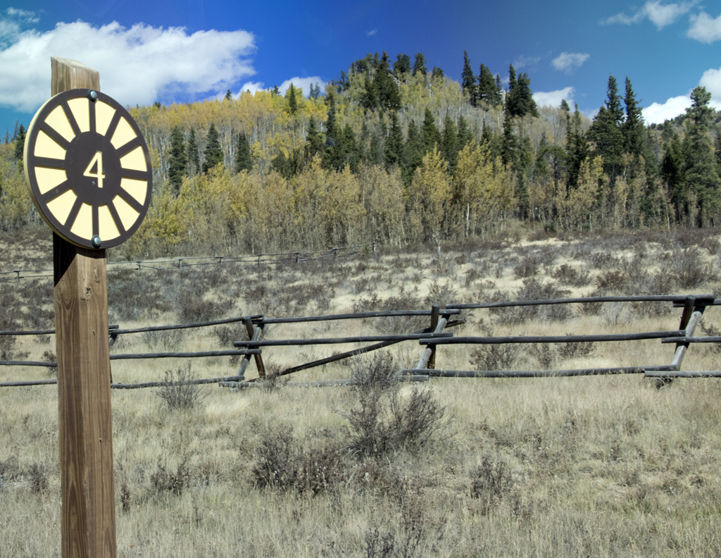
The trail has a guide, which you can download from the US Forest Service here. The gravel road is marked with numbers that coordinate with the guide info.
I kept making my husband stop so I could take pictures.
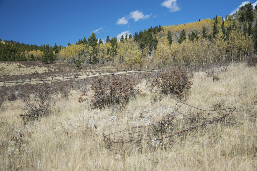
I liked that there were some old bedsprings just lying around out there:
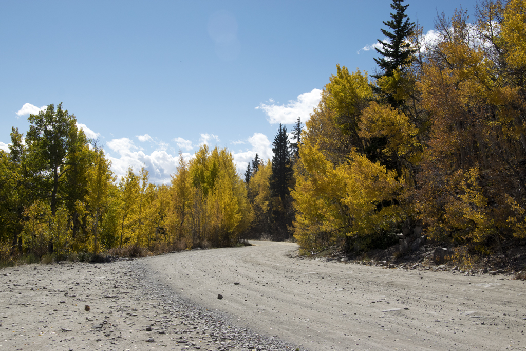
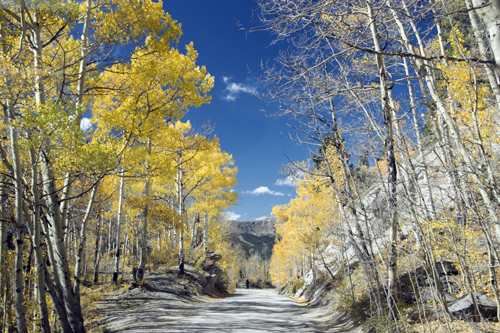
Here’s one of the many aspen tunnels we drove through:
And some aspen leaves close up:
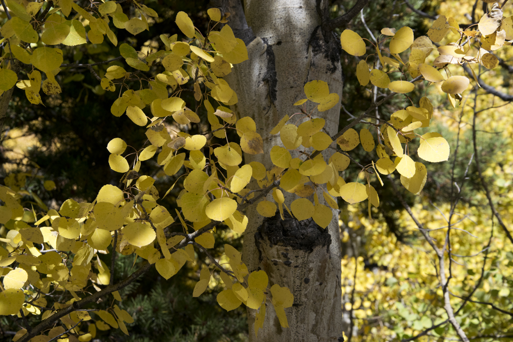
They are called quaking aspens because of the way the leaves vibrate in the slightest breeze. I’ve heard it said that, when they flutter like that, it’s like the leaves are applauding. It certainly looks like an approving audience from a distance!
That day it was very dry, probably with humidity in the teens. Everything seemed to crackle with static electricity, and the dust was pervasive.
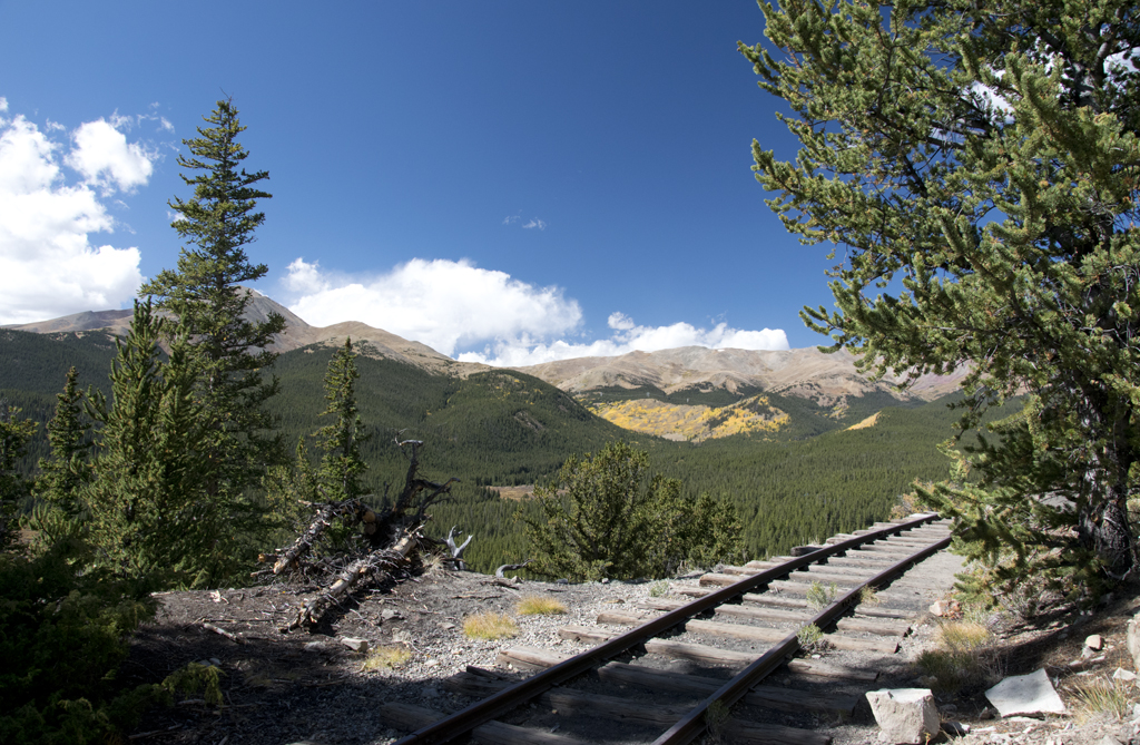
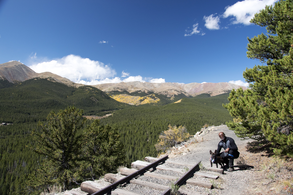
Presently we came to the only remaining section of original railroad tracks on the trail:
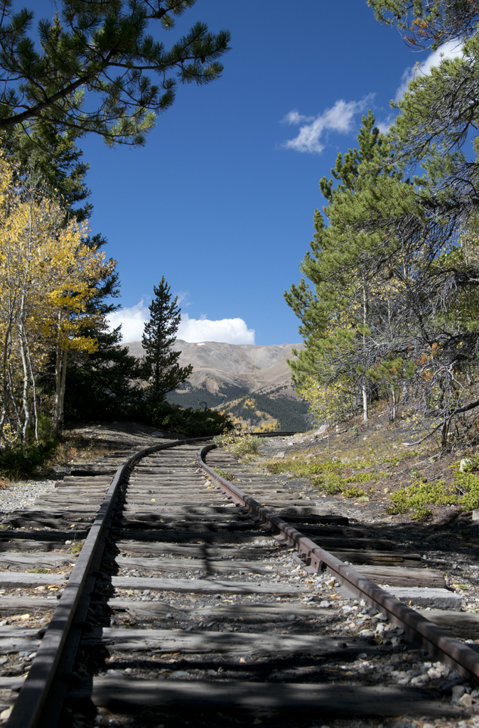
You can walk along the tracks, but you can’t drive them. I’m glad they diverted the current road away from the actual track bed because that train really hugged the edge of the mountain we were on!
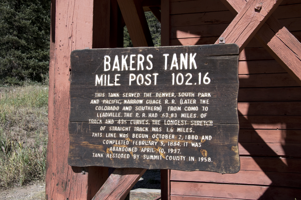
Presently we came to Baker’s Tank, which was a water tank they used to fill the locomotives back in the day:
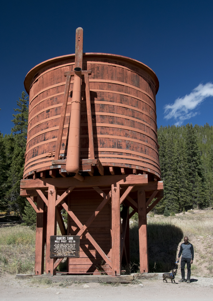
Since living in Colorado, I’ve learned the phrase, ‘tank town’, which means a wide-spot-in-the-road town. Some small towns existed only because the railroads needed a water tank at that location. Some still exist, and the phrase persists.
A parking lot across the road from the tank is for a side trail that bikers and hikers can use. We saw a lot of people headed up that way that day.
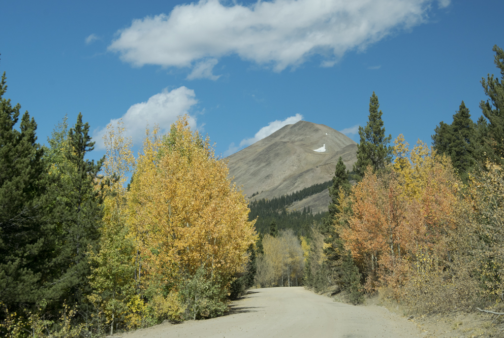
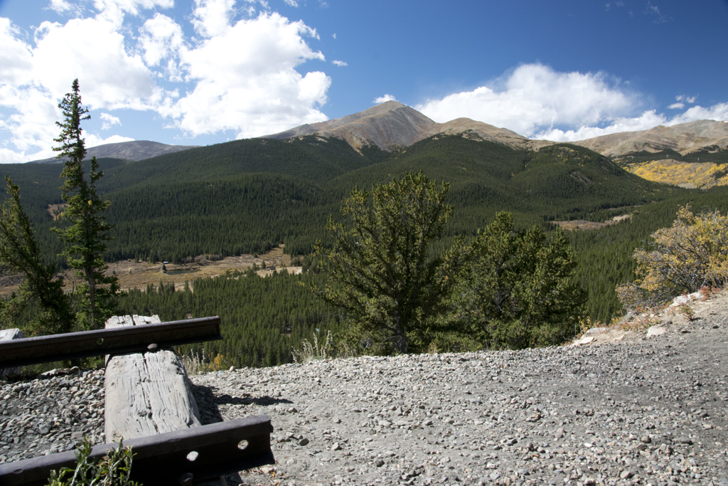
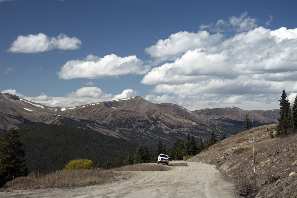
The grade of the road was a gradual 3% angle, and we still weren’t at the summit of the trail yet. We began to see many more breathtaking views of bald mountaintops above the treeline.
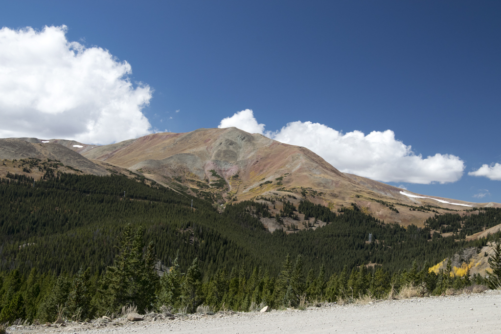
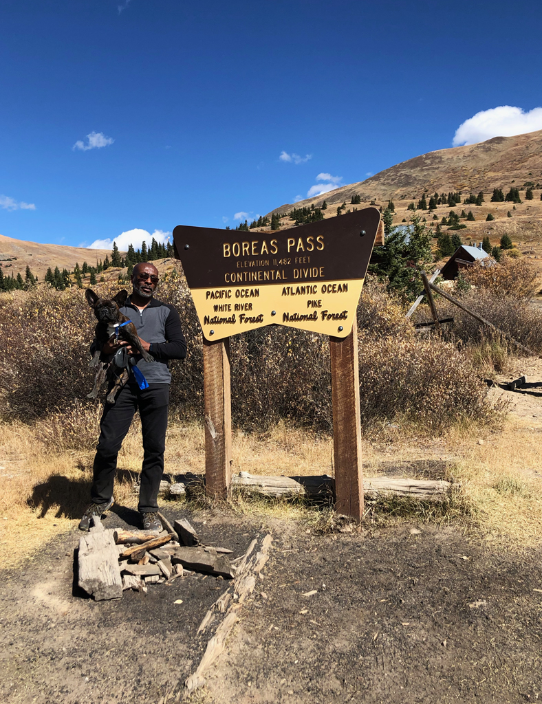
Eventually we came to the Boreas Pass itself, which marks the Continental Divide in that area. There are several structures there, including a railroad-crossing sign…
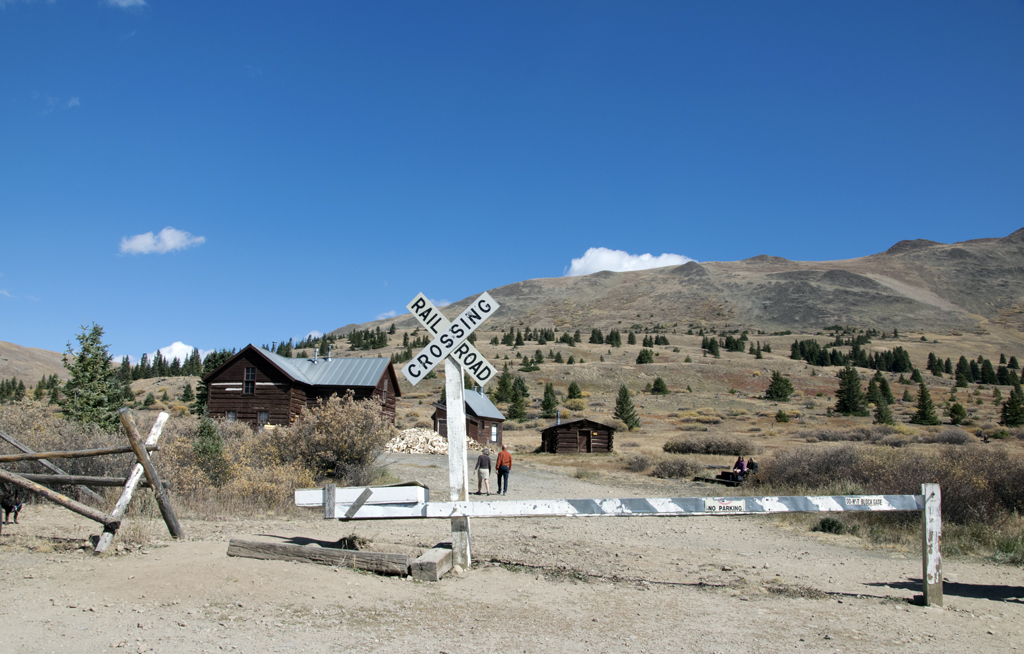
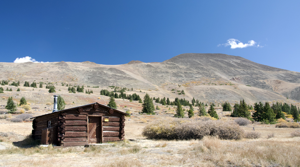
…and the old section house, built in 1881.
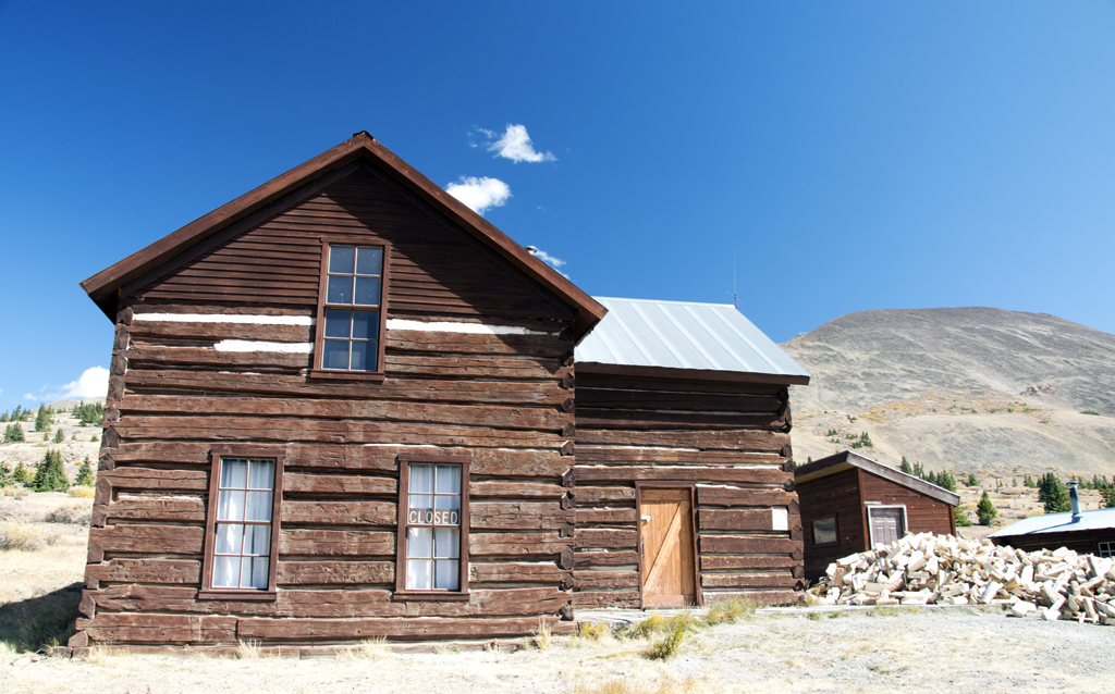
It’s called a section house because the men who took care of that section of the railroad tracks lived there. This section house is part of the Tenth Mountain Division Hut Association. You may remember my post about the Tenth Mountain, which is an army unit that fought in the mountains of Italy during WWII. They trained in the Rockies. The huts are maintained by an association named after this army unit which was founded by a veteran of the unit. You can book lodging in any of their huts if you plan on backcountry skiing or snowshoeing. They aren’t the only hut game in town, either.
These days the section house is a summer visitor center, and backcountry skiers can stay there in the winter months. Next to the section house is Ken’s Cabin, or what used to be called the Wagon Cabin. It existed before the railroad when a wagon trail led over the mountain. Notice we were at the treeline up there, 11,482 feet above sea level:
Both structures are on the National Register of Historic Places and have been restored in the past few decades.
Of course, there’s the requisite Continental Divide sign there, too:
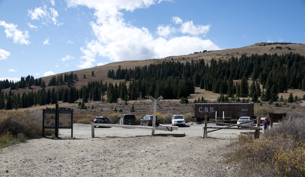
All along the Boreas pass road are campsites and other trailheads. After the stop at the Divide, we continued almost 11 more miles into Breckenridge where we had a marvelous burger. There were preserved locomotives and such there, too, which you might just see in your future.
I’d highly recommend this trip. It’s free except for your gas, and very interesting for nature and history lovers alike. Plus you can’t beat those aspen. You just can’t drive the road from November through May.
Photo for No Apparent Reason:
Beautiful! And I didn’t know you had a Frenchie. What I really want to do is change my email address.